Researchers Use Deep Learning, VHR Satellite Imagery to Map Artillery Craters in Eastern Ukraine
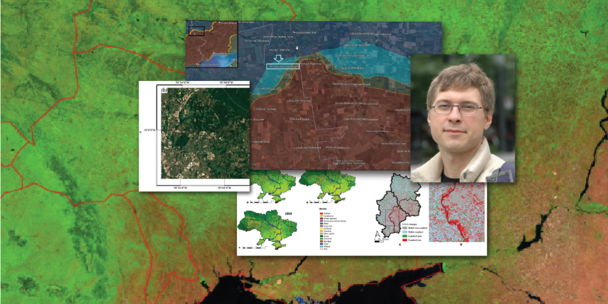
INFO Assistant Professor Sergii Skakun examines detecting and mapping artillery craters in Eastern Ukraine.
The paper investigates the suitability of VHR satellite imagery at sub-meter spatial resolution and deep learning classification models for detecting and mapping artillery craters in Eastern Ukraine in 2014. The researchers aim to address the following research questions:
- What accuracy can be achieved when detecting and mapping artillery craters on an individual level with VHR satellite imagery?
- What is the efficiency of the deep-learning model compared to the baseline model based on random forest approach?
- How is the detection and mapping of craters dependent on crater size?
The paper is open access and can be found here.
Highlights of the paper:
- Artillery craters can be detected in satellite imagery at sub-meter resolution.
- U-Net model outperforms a random forest model.
- Model’s performance depends on crater’s size.
- Deep learning U-Net model yields an F-score of 0.80 for craters >60 m2.
Abstract:
Unexploded munitions are some of the most enduring remnants of conflicts around the world. Their effects on the economy, health, environment, and post-conflict rehabilitation are long reaching and devastating for the areas they plague. With the advancements in very high spatial resolution (VHR) satellite multispectral imaging at sub-meter resolution, it becomes possible to detect object attributes at the scale of individual impacts (craters) of heavy weapon shelling. Manual identification and delineation of artillery craters in satellite imagery is time and resource consuming, especially when large territories and volumes of VHR data are considered. Therefore, automatic image processing methods should be explored. Here, we evaluate the application of a deep learning approach for identifying and mapping artillery craters in agricultural fields in Eastern Ukraine during the onset of armed conflict in 2014. The model was applied to pansharpened multispectral VHR imagery acquired by the WorldView-2 satellite at 0.5-m spatial resolution. The model can detect artillery craters with producer’s accuracy (PA) (or recall) of 0.671 and user’s accuracy (UA) (or precision) of 0.392 in terms of crater area and shape, and PA of 0.559 and UA of 0.427 in terms of binary crater identification. The model’s performance is dependent on crater size. Reliability of crater detection and mapping improves as the size of craters increases. For example, for craters larger than 60 m2 PA is 0.803 and UA is 0.449 (per-pixel), and PA is 0.891 and UA is 0.721 (per-object). Overall, the model prioritizes PA over UA, i.e., omission error over commission error, and is better at detecting craters than their shapes. We applied the trained model to a separate, 858 km2 subregion of Donetsk oblast to automatically estimate and map the locations, number and area of artillery craters. Our estimates revealed over 22,000 craters in the subregion, which occupy an area of 1.2 km2, or 0.14% of the region, primarily in agricultural fields. The availability of such crater maps is extremely valuable within demining and chemical decontamination efforts and can assist in assessing the impact of warfare on agriculture and the environment. We outline the current limitations of the proposed approach and avenues for further research for improving artillery crater detection and mapping.
About the researchers:
- Erik C. Duncan (University of Maryland, GEOG)
- Sergii Skakun (University of Maryland, GEOG/INFO)
- Ankit Kariryaa (University of Copenhagen)
- Alexander V. Prishchepov (University of Copenhagen)
Article originally published by the Department of Geological Sciences communications group, June 16, 2023.